Approved by TMA Dera Ismail Khan · Approval No. 1716/TMA/DIK dated 30 September 2024Call 0336-7683991
Roshan Housing SchemeRoshan Colony · Diyal Road, D.I. Khan
Home / Location

Location

Near Haji Abad Chowk, Diyal Road, Dera Ismail Khan.

Address

Near Haji Abad Chowk, Diyal Road, Mouza Ratta Kulachi, Dera Ismail Khan
Tehsil & District Dera Ismail Khan, Khyber Pakhtunkhwa

Open in Google Maps

GPS coordinates of the boundary

PointLatitudeLongitude
131.867170.9109
231.865570.9109
331.865670.9101
431.867170.9100

Source: EPA Khyber Pakhtunkhwa, report dated 27-03-2024.

Scheme boundary drawn from GPS coordinates; Diyal Road to the westDIYAL ROAD≈46 mRoshanColony30 kanal≈85 m≈177 mN1 31.8671, 70.91092 31.8655, 70.91093 31.8656, 70.91014 31.8671, 70.9100
Indicative boundary from the GPS points above. Diyal Road runs about 46 m to the west.

Surroundings

The site is in an established residential part of D.I. Khan: most of the area within 500 m is housing, mostly 5–10 marla, with shops along Diyal Road and several schools and offices nearby.
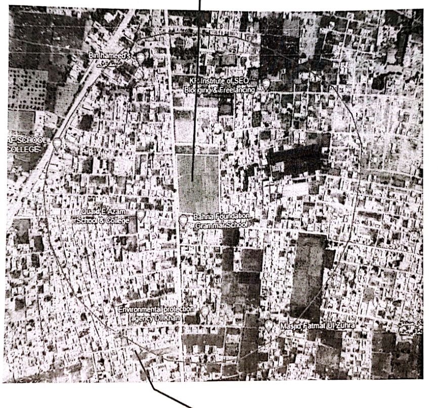
Satellite image showing the scheme site and a 500 metre radius around it
Site and 500 m surroundings (GEA report, Appendix 2).
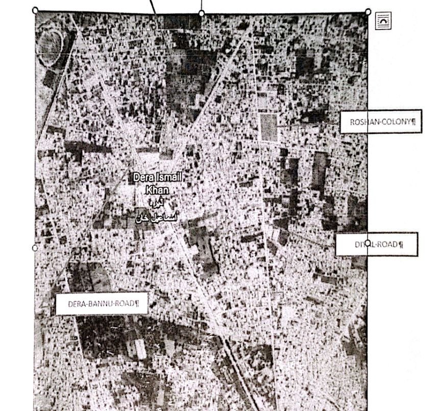
Satellite map of Dera Ismail Khan marking Roshan Colony, Diyal Road, Chashma Road and Dera-Bannu Road
Position in Dera Ismail Khan (GEA report, Appendix 1).